Sobre Nós

A TOPOS Serviços em Engenharia e Agrimensura é especializada em regularização fundiária rural e urbana, oferecendo soluções completas e eficientes para garantir a conformidade legal e a segurança jurídica das propriedades de nossos clientes.

Credenciamento e Confiança

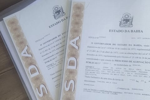
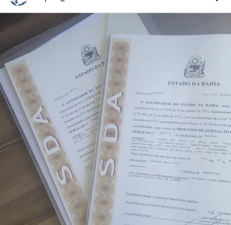
Somos credenciados pelo INCRA e pela Superintendência de Desenvolvimento Agrário da Bahia, o que garante que nossos serviços atendem aos mais altos padrões de qualidade e confiabilidade exigidos por órgãos governamentais.

A monochrome image depicting a close-up of a hand holding a pen over a map. A ruler is also placed on the map, indicating measurements or planning activity. The map details roads and locations, with 'Paris' marked prominently.
An aerial view of a rural landscape featuring a straight road running vertically through the center. To the left of the road, there is an agriculturally developed area with organized rows of crops or trees. To the right, there is a large field covered in green and yellow vegetation. A curved road is visible on the lower left corner of the image, bordered by dense greenery. A few vehicles can be seen on the straight road.

Localização

Estamos localizados na Bahia, oferecendo serviços de regularização fundiária e georreferenciamento com precisão e credibilidade.

Endereço

Avenida Luis Viana Filho, 013223, Edif Hangar Business Park Hangar 4, Sala 109, São Cristóvão, Salvador, BA, CEP 41.500-300

Horário

Segunda a Sexta

Topografia Precisão

Especialistas em regularização fundiária e georreferenciamento de processos.

Aerial view of a landscape with a grid-like arrangement. It features rows of trees or crops, possibly an orchard or plantation, with dirt paths and roads crossing at intervals. There's a mix of greenery and barren land, with some shadows cast by trees and structures. A couple of buildings and structures are visible, likely storage or residential areas.
An aerial view of a rural landscape featuring a small building surrounded by patches of green trees and red-brown soil. The sunlight casts long shadows, highlighting the natural contours of the terrain. Dirt roads and paths weave through the scenery.
Aerial view of terraced landscape with distinct layers and patches of greenery, including a few scattered trees. The area appears dry, with a mix of brown and green tones suggesting a cultivated or managed land.
Aerial view of farmland exhibiting parallel rows of harvested fields and a distinct, curved boundary with a patch of natural vegetation in the center. The fields are uniformly spaced, and small bales of hay are scattered across the cultivated sections.