
Nossos Serviços
Especialistas em regularização fundiária e georreferenciamento para áreas rurais e urbanas.
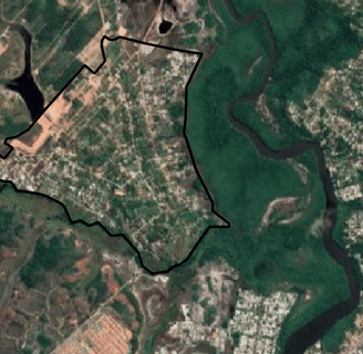
Georreferenciamento Precisão
Oferecemos serviços de georreferenciamento com alta precisão, garantindo a regularização de sua propriedade.
Documentação Completa
Emitimos documentos essenciais como Certificação INCRA, Titulação de terras no Estado da Bahia, CCIR, ITR e CAR/CEFR, assegurando a legalidade da sua propriedade.

Regularização Fundiaria em áreas de interesse de projetos em Eólica e Solar
Regularização Fundiaria de áreas de interesse de implantação em parques de Energia Eólica e Solar, de acordo com as Instruções Normativas 01/2021 da Superintendência de Desenvolvimento Agrário do Estado da Bahia.
Nosso serviço abrange desde a análise inicial até a finalização e entrega de documentos, sempre com foco na satisfação do cliente.
Gestão de Processos


Terreno Regularizado
Terreno com georreferenciamento e documentação completa.


Propriedade com Certificado
Possui Certificação Incra, CCIR e ITR em dia, documentado.
Área Agrícola Licenciada
Área rural com gestão documental efetiva e precisa.
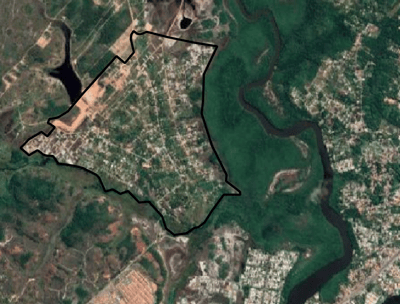


Terreno Urbano Regularizado
Registro e georreferenciamento realizados conforme a lei.
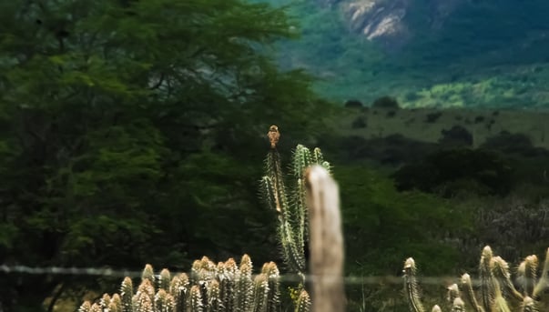
Propriedade Rurais Disponíveis
Documentação de terras com serviços de topografia.
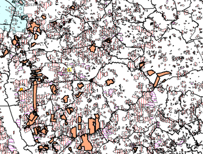
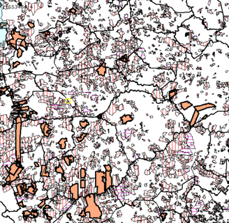
Área em Desenvolvimento
Regularização fundiária de terras devolutas em áreas de implantação de parques Eólicos e Solar com serviços de alta qualidade.
Projetos Topográficos
Serviços de georreferenciamento e regularização fundiária com precisão.


Georreferenciamento
Precisão em georreferenciamento para áreas rurais e urbanas.


Regularização Fundiária
Apoio completo na regularização de propriedades rurais e urbanas.


Gestão de Processos
Gerenciamento eficiente de processos para emissão de documentos.
Topografia
Serviços de topografia com alta precisão e qualidade.